What is Surfer?
Utilize Surfer’s extensive modeling tools to display your data the way it deserves while maintaining accuracy and precision. Surfer’s numerous analysis tools, made specifically with engineers, geologists and researchers in mind. Adjust interpolation and gridding parameters, assess the spatial continuity of data with variograms, define faults and breaklines, or perform grid calculations such as volumes, transformations, smoothing, or filtering.
Company Details
Need Assistance?
We're here to help you with understanding our reports and the data inside to help you make decisions.
Get AssistanceSurfer Ratings
Real user data aggregated to summarize the product performance and customer experience.
Product scores listed below represent current data. This may be different from data contained in reports and awards, which express data as of their publication date.
77 Likeliness to Recommend
75 Plan to Renew
80 Satisfaction of Cost Relative to Value
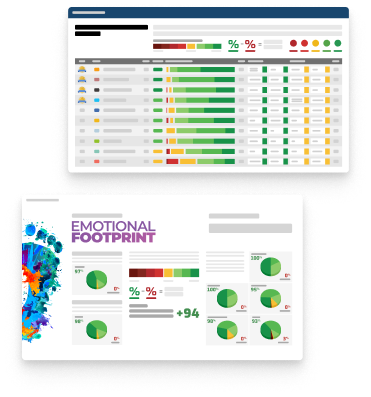
Emotional Footprint Overview
Product scores listed below represent current data. This may be different from data contained in reports and awards, which express data as of their publication date.
+90 Net Emotional Footprint
The emotional sentiment held by end users of the software based on their experience with the vendor. Responses are captured on an eight-point scale.
How much do users love Surfer?
Pros
- Fair
- Altruistic
- Generous Negotitation
- Transparent
Cons
- Less Caring
How to read the Emotional Footprint
The Net Emotional Footprint measures high-level user sentiment towards particular product offerings. It aggregates emotional response ratings for various dimensions of the vendor-client relationship and product effectiveness, creating a powerful indicator of overall user feeling toward the vendor and product.
While purchasing decisions shouldn't be based on emotion, it's valuable to know what kind of emotional response the vendor you're considering elicits from their users.
Footprint
Negative
Neutral
Positive
Feature Ratings
Advanced Spatial Analysis
Cartographic Design & Production
Spatial Analysis & Geoprocessing
Geo Coding
Data Interoperability
Mobile
Mapping & Visualization
Vendor Capability Ratings
Usability and Intuitiveness
Ease of Data Integration
Ease of IT Administration
Quality of Features
Business Value Created
Product Strategy and Rate of Improvement
Ease of Customization
Ease of Implementation
Availability and Quality of Training
Vendor Support
Breadth of Features
Get Instant Access<br>to this Report
Get Instant Access
to this Report
Unlock your first report with just a business email. Register to access our entire library.
© 2026 SoftwareReviews.com. All rights reserved.